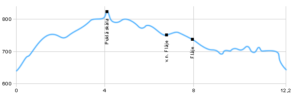
Length: 12,2 km
Dificulty: medium
Circle: YES, Marking: partialy marked
Trail trip begins in Cesky Jiretin, then continues at the red mark through the upper village to the rock Puklá skála, where i is an interesting view. Then follows the red signed tourist trail at the crossroad with Krusnohorska arterial, where it connects at the green signed trail and goes to the water tank Flaje. From the water tank is returned at green sign back to Český Jiřetín.
|
|
|
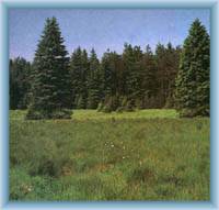
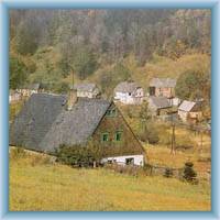
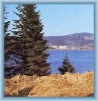
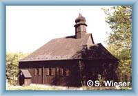
 | Baroque church of St. Peter and Paul from 1796 to 1800. In the southern part of the village is located wooden church of St. John the Baptist, relocated from neighbouring Fláje. It is also the centre of winter sports at Litvínov Region. |  | Puklá Skála rock is conspicuous reef with reddish color. It is the view place near the Fláje dam. From the peak is an interesting view. |  | Water Reservoir Flaje is an important recreational area of the Ore Mountains. It is the only pillar dam in the Czech Republic. The dam is 56 m long high 416 m. Fláje Canal, which is situated under the dam, was built in the 16th century, and is about 5 kilometers long and 75 meters high |  | Flaje was quite a large village with several hundreds of houses. In the years 1958 to 1960 the entire village was destroyed at the time of construction of the dam |
|
