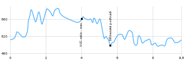
| Dist. |
Location |
Elevation |
Marking |
Description |
| 0,0 |
Dolní Adršpach |
511 m n.m. |
 |
 |
| 1,8 |
Waterfall |
574 m n.m. |
 |
 |
| 4,0 |
Vlčí rokle crossroad |
564 m n.m. |
 |
 crossroad with blue tourist route crossroad with blue tourist route |
| 5,0 |
U Ozvěny crossroad |
604 m n.m. |
 |
|
| 5,6 |
Střmenské podhradí |
521 m n.m. |
 |
crossroad with red and yellow tourist route |
| 9,5 |
Dolní Adršpach |
511 m n.m. |
|
|
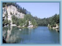
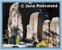
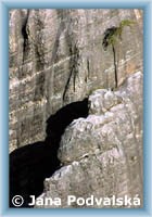
 | Dolní Adršpach - Recreational village in the valley of the river Metuje, the main starting point for visiting the Adrspach Rock Town. Adrspach Rock Castle was founded probably in the second half of the 13th century. The ruin of the castle is a visited place and from the most eastern rocks there is a beautiful view of a substantial part of the Adrspach rock town. The Renaissance two-storey castle with a five-pointed tower is now used for archival purposes. |  | Vodopád (Waterfall) - The waterfall on the Metuji River is hidden in a rock cave, accessible by a corridor and a wooden footbridge. The waterfall flow is regulated because there is a small dam just above the waterfall. |  | Vlčí rokle – crossroad. - The Vlčí Gorge Valley is one of the most valuable areas of the National Nature Reserve with preserved, woodless peat-bogs. |
|


